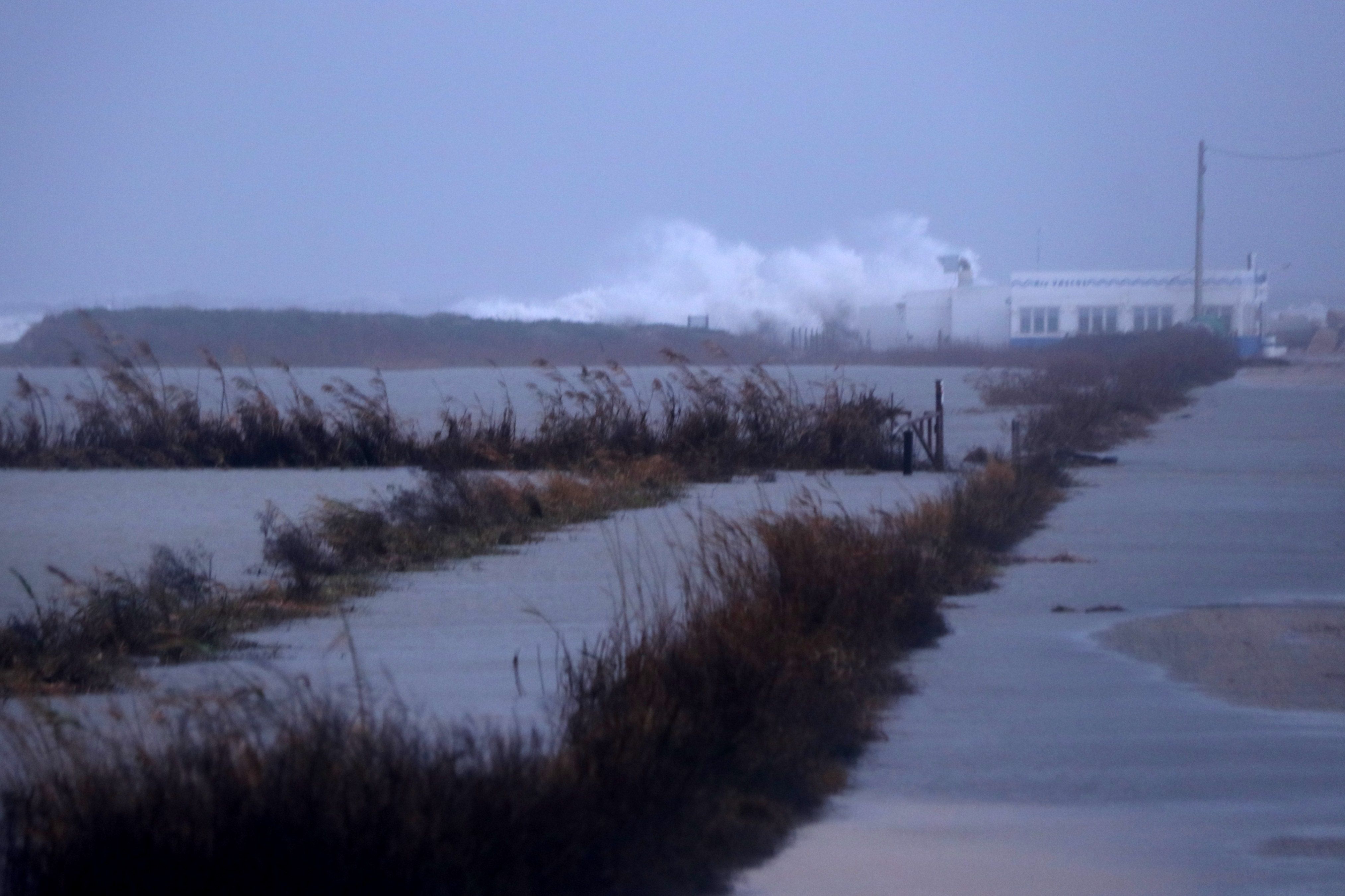
Alarming images of the effects of the storm Glòria on the Ebre Delta in the south of Catalonia. In this environmentally-sensitive delta region on the Mediterranean, the force of the waves pushed sea water up to 3 kilometres inland, flooding an area of 3,000 hectares. Rice fields were left completely drowned.
Catalan firefighters inspected the area from the air to analyze the magnitude of the disaster.
Aquest matí, #bomberscat hem sobrevolat el Delta de l'Ebre per revisar els efectes causats pel temporal #gloria a la zona. #INUNCAT @emergenciescat pic.twitter.com/hPzE6qIJYZ
— Bombers (@bomberscat) January 22, 2020
Images from the air also reveal the destruction caused by the storm in the area of the Fangar lighthouse.
Imatges #bomberscat de la zona del Far del Fangar del Delta de l'Ebre.#INUNCAT #Gloria @emergenciescat pic.twitter.com/QF0py5zJl4
— Bombers (@bomberscat) January 22, 2020
Ground-level images show how the sea surged into the Delta region's rice fields.
Satellite images
If the views from the air already give an idea of the storm's impact, images from space show the full gravity of the situation in the Ebre Delta, a key Mediterranean wetland, as well as an important area of specialised agricultural production.
Les imatges del #sentinel1 @CopernicusEU
— Josep Sitjar i Suñer (@JosepSitjar) January 21, 2020
ens permeten visualitzar els efectes de la tempesta #Gloria al Delta de l'Ebre @SIGTE_UdG pic.twitter.com/Hi7dlhjxye
The images, from the Sentinel-1 satellite, show the Ebre Delta before and after Storm Glòria arrived.

